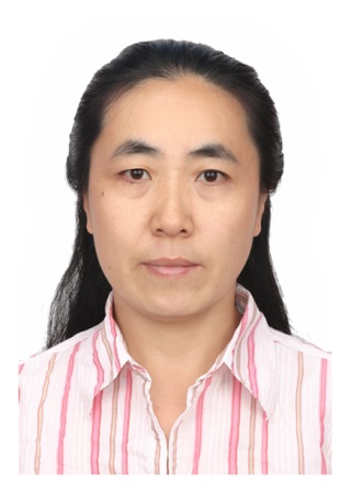
长期从事卫星遥感图象处理及应用研究,先后作为主要人员和项目负责人承担国家“七五”、“八五”、“九五”、国家“863”、国家自然基金课题、国家电子政务和部委及地方研究项目30余项。发表论文60余篇,申请发明专利7项,获计算机软件著作权4项。
教育经历:
1984年9月――1988年7月,武汉测绘科技大学,地图制图专业,学士学位
1994年1月――1995年10月,国际空间测量与地球科学学院(荷兰ITC),硕士学位
工作经历:
1988年7月至2007年12月,中国科学院中国遥感卫星地面站
2007年12月至2012年9月,中国科学院对地观测与数字地球科学中心
2012年9月至今,中国科学院遥感与数字地球研究所
研究生培养:
已培养硕士研究生数十名。
1. Tengfei Long, Weili Jiao, Guojin He.RPCs Estimation via L1-norm Regularized Least Squares (L1LS). IEEE Transactions on Geoscience and Remote Sensing , in press, 2015.
2. Tengfei Long, Weili Jiao, Guojin He, Zhaoming Zhang, Bo Cheng, Wei Wang, A Generic Framework for Image Rectification Using Multiple Types of Feature. ISPRS Journal of Photogrammetry and Remote Sensing. Volume 102, April 2015, pp. 161–171.
3. Weili Jiao, Tengfei Long, Guang Yang, and Guojin He. A New Method for Geometric Quality Evaluation of Remote Sensing Image Based on Information Entropy. International Archives of the Photogrammetry, Remote Sensing & Spatial Information Sciences. Vol. XL-2, 63-70, doi:10.5194, 2014.
4. Tengfei Long, Weili Jiao, Guojin He, Nested Regression Based Optimal Selection (NRBOS) of Rational Polynomial Coefficients. Photogrammetric Engineering & Remote Sensing, Vol. 80, No. 3, pp. 261–269, March 2014.
5. Tenfei Long, Weili Jiao, Guojin He, Wei Wang, Automatic Line Segment Registration Using Gaussian Mixture Model and Expectation-Maximization Algorithm. IEEE Journal of Selected Topics in Applied Earth Observations and Remote Sensing, vol. 7, no. 5, pp. 1688-1699, May 2014
6. 武盟盟,焦伟利,龙腾飞,基于描述子与几何约束的直线段匹配[J],《计算机工程与设计》,2014, 6(34)。
7. Weili Jiao, Tenfei Long, Libo Chen,Improving The Geometric Correction Accuracy Of Hj-1 Satellite Imagery Based On The Rational Function Model Solved By ISVD Approach. In Proceedings of the 34th ACRS 2013, SC02-879-885, 20-24 October, 2013, Bali, Indonesia.
8. 龙腾飞,焦伟利,王威,2013,基于面特征的遥感图像几何校正模型[J],《测绘学报》,2013,42(4):540-545。
9. Jiao Weili, Fang Yaling, He Guojin, An Integrated Feature Based Method for Sub-pixel Image Matching, In International Archives of the Photogrammetry, Remote Sensing and Spatial Information Sciences, ISPRS 2008. Vol. XXXVII, part B1, p1157-1160.
10. Jiao Weili, Cheng Bo, Zhu Wenqi, Liu Wenyi, He Guojin, Wang Wei, Zhang Xiaomei, Accuracy Analysis of Remote Sensing Image Rectification, In Remote Sensing of the Environment: 16th National Symposium on Remote Sensing of China, Proceeding of SPIE Vol. 7123, 712308, 2008.
论著:
《中国分省遥感影像地图集》,中国地质出版社,2012,副主编