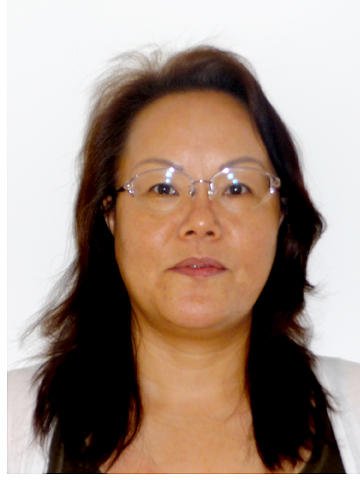
雷莉萍(1962年10月生),中国科学院遥感与数字地球研究所,研究员。主要从事光学遥感观测机理与应用、遥感数据处理与信息提取的研究。负责承担过国内外遥感应用、信息处理及系统开发等科研项目,曾获中国科学院科学技术进步二等奖和中国科学院科学技术进步特等奖。目前共发表学术论文50多篇,内容主要涉及植被遥感、农业遥感与应用、温室气体遥感以及卫星遥感数据处理系统等。
受教育经历
1996/03-1999/03,日本岩手大学,计算机信息系统,博士
1983/07-1986/07, 北京大学,遥感应用所,硕士
1979/06-1983/06, 北京大学,地理系,学士
研究工作经历
2008/01-至今,中国科学院对地观测与数字地球科学中心(现中国科学院遥感与数字地球研究所),数字地球重点实验室,研究员。
2003/03-2007/12,Basic Engineering Co. Ltd.,Japan, 主任研究员。
2001/03-2003/02,日本岩手大学,计算机信息系统,文部教官(研究员兼教授助理)。
2000/03-2001/02,日本邮政部,信息通信研究所,博士后。
1986/07-1994/10, 中国科学院, 遥感卫星地面站,助理研究员。
1. Liping Lei, Xianhua Guan, Zhaocheng Zeng, Bing Zhang, Fei Ru and Ran Bu (2013), “A comparison of atmospheric CO2 concentration GOSAT-based observations and model simulations,” SCIENCE CHINA: Earth Sciences. (SCI, In Press)
2. Zhaocheng Zeng, Liping Lei*, et al. (2013), “Incorporating Temporal Variability to Improve Geostatistical Analysis of Satellite-Observed CO2 in China,” Chinese Science Bulletin, 58, DOI: 10.1007/s11434-012-5652-7. (SCI)
3. Zhaocheng Zeng, Liping Lei, Shanshan Hou, Fei Ru, Xianhua Guan and Bing Zhang, A Regional Gap-filling Method Based on Spatio-temporal Variogram Model of CO2 Columns, IEEE TRANSACTIONS ON GEOSCIENCE AND REMOTE SENSING, VOL.* NO.* * 2013 (SCI, in press).
4. Shanshan Hou, Liping Lei* and Zhaocheng Zeng (2013), “The Response of Global Net Primary Productivity to CO2 Increasing and Climate Change: Evaluation of Coupled Model Simulations,” Journal of Food, Agriculture & Environment, Vol. 11, No. 1, pp. 937-944, 2013. (SCI)
5. Liping Lei, Zhaocheng Zeng and Bing Zhang (2012), “Method for Detecting Snow Lines from MODIS Data and Assessment of Changes in the Nianqingtanglha Mountains of the Tibet Plateau,” IEEE Journal of Selected Topics in Applied Earth Observation and Remote Sensing, Vol. 5, No. 6, pp. 769-776. (SCI)
6. LEI Liping, LIU Liangyun, ZHANG Li, BI Jiantao, WU Yanhong, JIAO Quanjun and ZHANG Wenjuan (2010), “Assessment and analysis of collapsing houses by aerial images in the Wenchuan earthquake,” Journal of Remote Sensing, 14(2): 333-344. (雷莉萍,刘良云,张丽,毕建涛,吴艳红,焦全军,张文娟,2010, “汶川地震房屋倒塌的遥感监测与分析”,遥感学报,14(2): 333-344.
7. Huadong Guo, Liangyun Liu, Liping Lei, Yanhong Wu, Liwei Li, Bing Zhang, Zhengli Zuo and Zhen Li (2010), “Dynamic analysis of the Wenchuan Earthquake disaster and reconstruction with 3-year remote sensing data,” Int. J. Digital Earth, 3(4): 355-364. (SCI)
8. Guo HuaDong, Zhang Bing, Lei LiPing, et al. (2010), “Spatial distribution and inducement of collapsed buildings in Yushu earthquake based on remote sensing analysis,” SCIENCE CHINA: Earth Science , doi: 10.1007/s11430-010-1011-1. (SCI)
9. Liping Lei, Liangyun Liu, Li Zhang et al. (2009), “Assessment of spatial variation of the collapsed houses in Wenchuan earthquake with aerial images,” J. Appl. Remote Sens., 3(1), DOI: 10.1117/1.3154544. (SCI)
10. 茹菲,雷莉萍,侯姗姗,曾招城,关贤华,GOSAT卫星温室气体浓度反演误差的分析与评价,遥感信息,年2月第28卷第1期.
11. 侯姗姗, 雷莉萍, 关贤华,温室气体观测卫星GOSAT及产品,遥感技术与应用,2013年4月第28卷第2期.